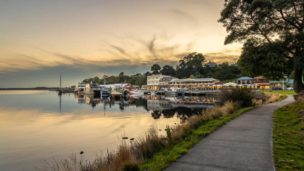
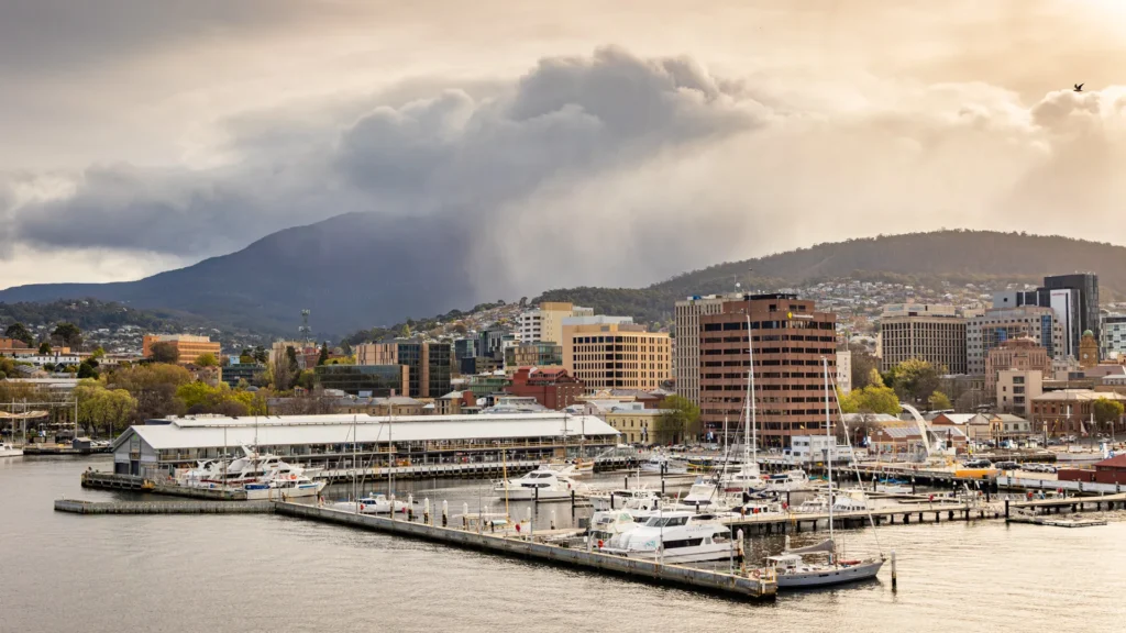
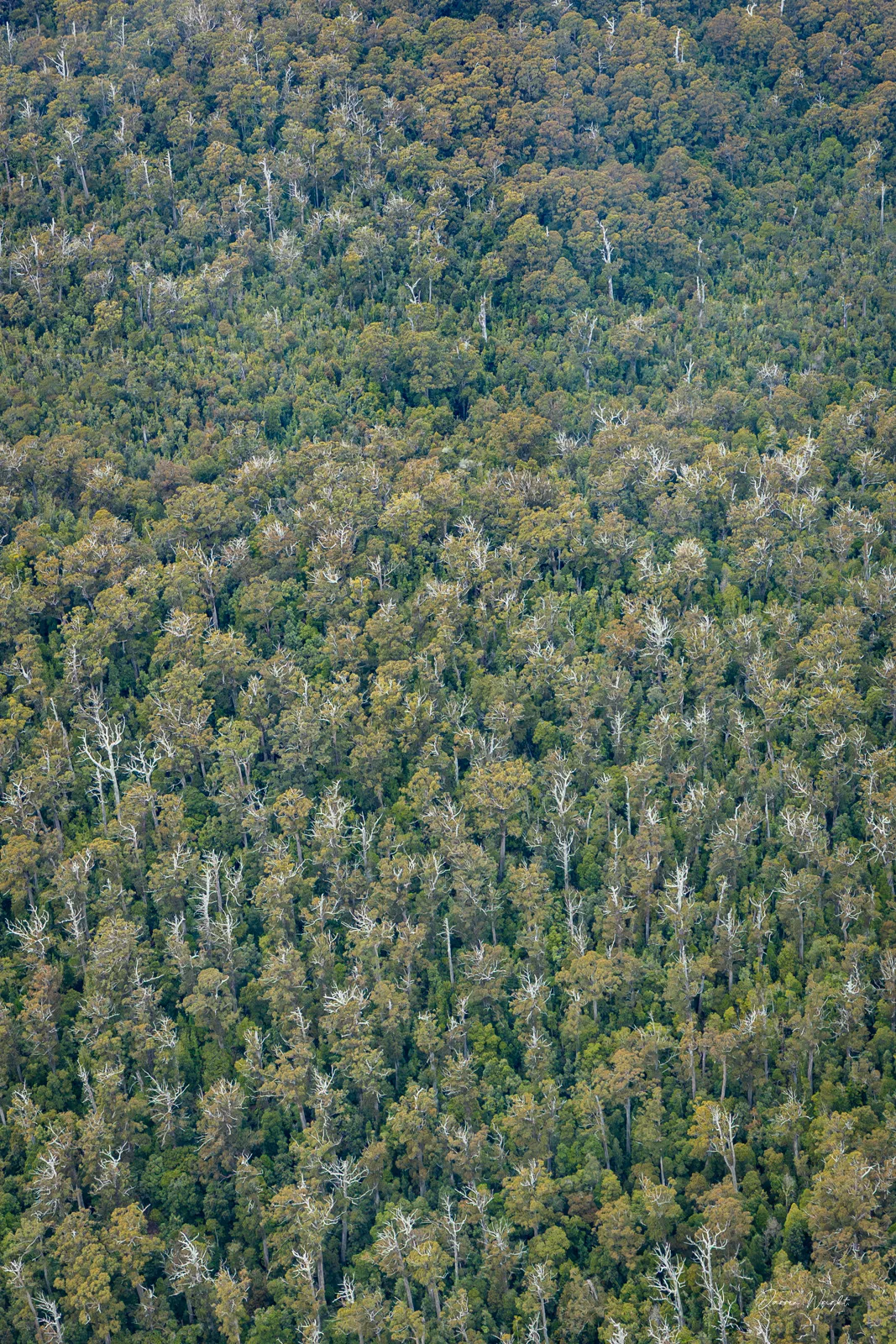
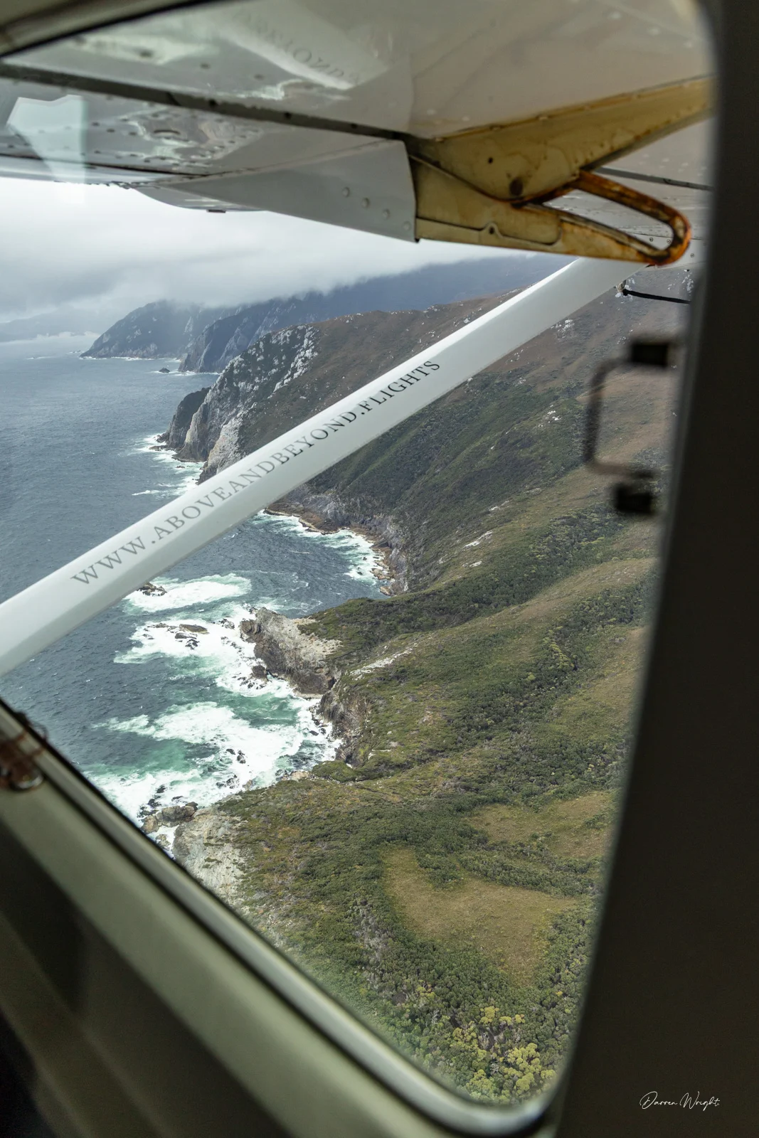
Tasmania has a habit of reminding you how much you still haven’t seen. In December 2025, I had the chance to photograph a seaplane flight into Bathurst Harbour with Above and Beyond, heading deep into the state’s southwest. The weather wasn’t ideal, low cloud, rain, shifting conditions, but the flight went ahead, taking the long way south from Hobart, skirting the coast rather than cutting inland. It turned out to be the right call.
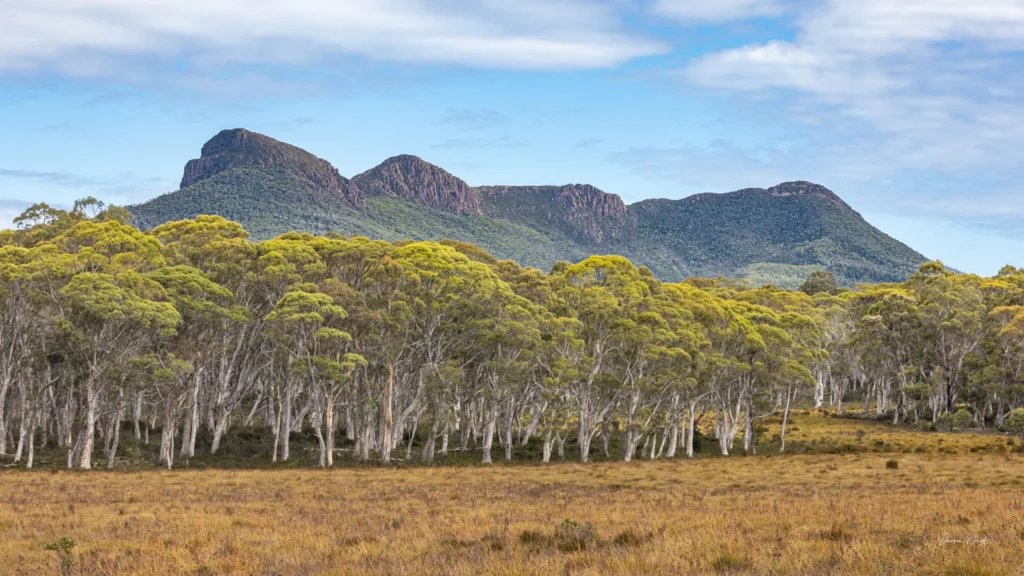
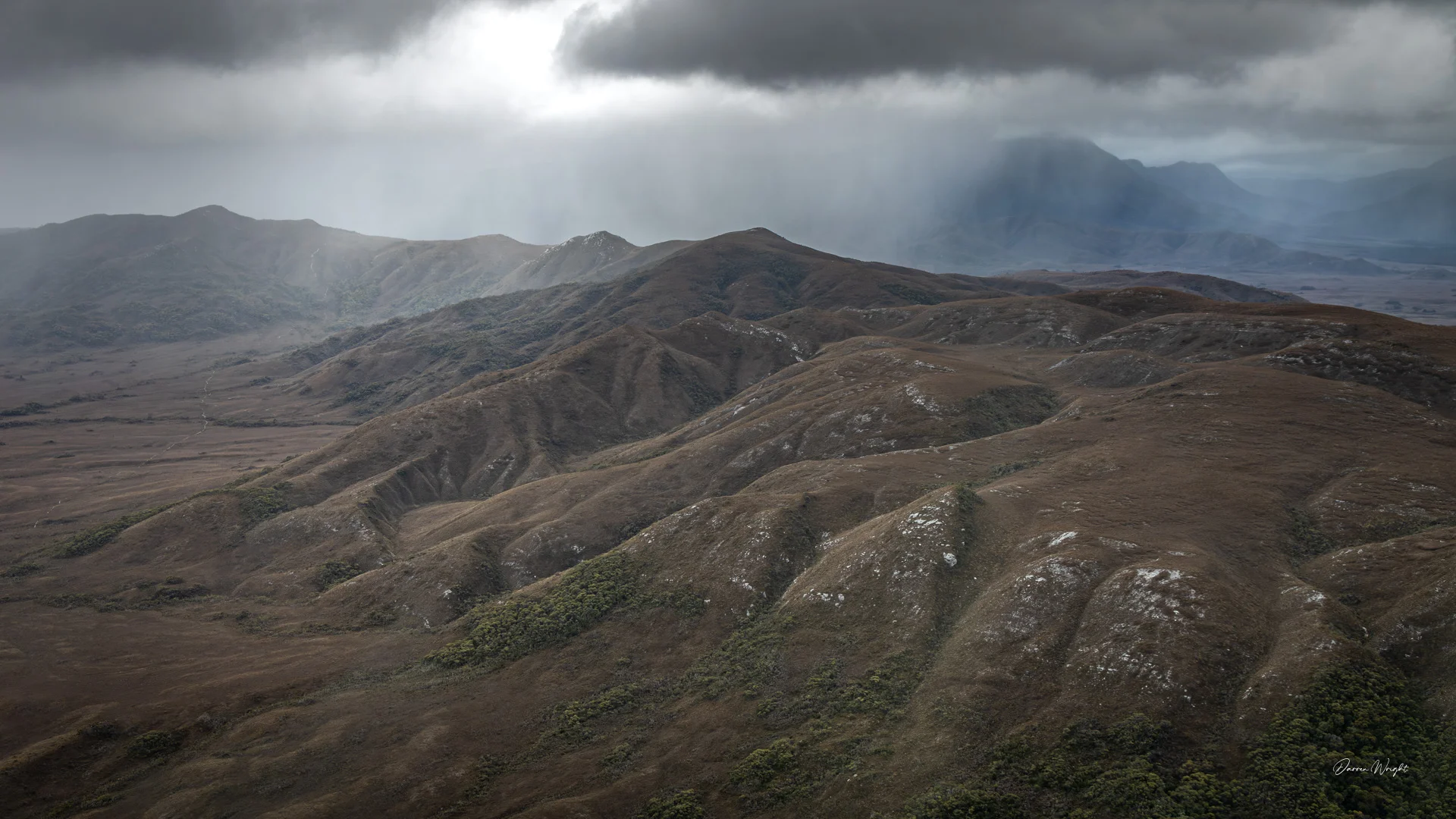
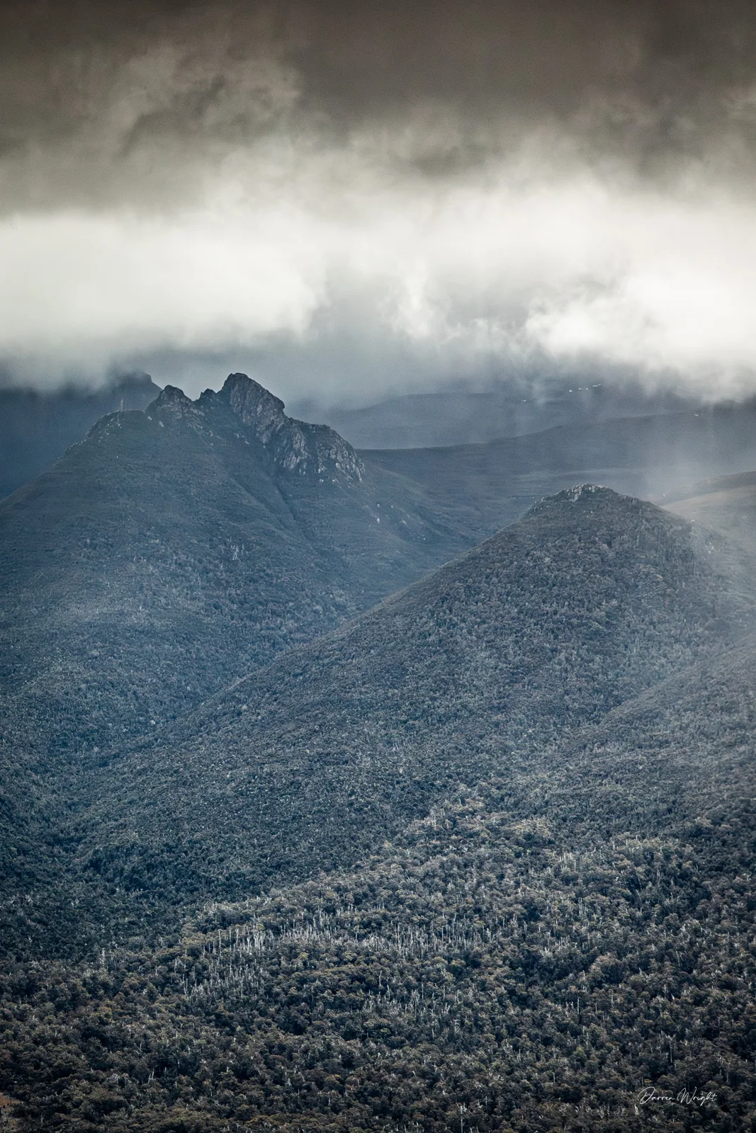
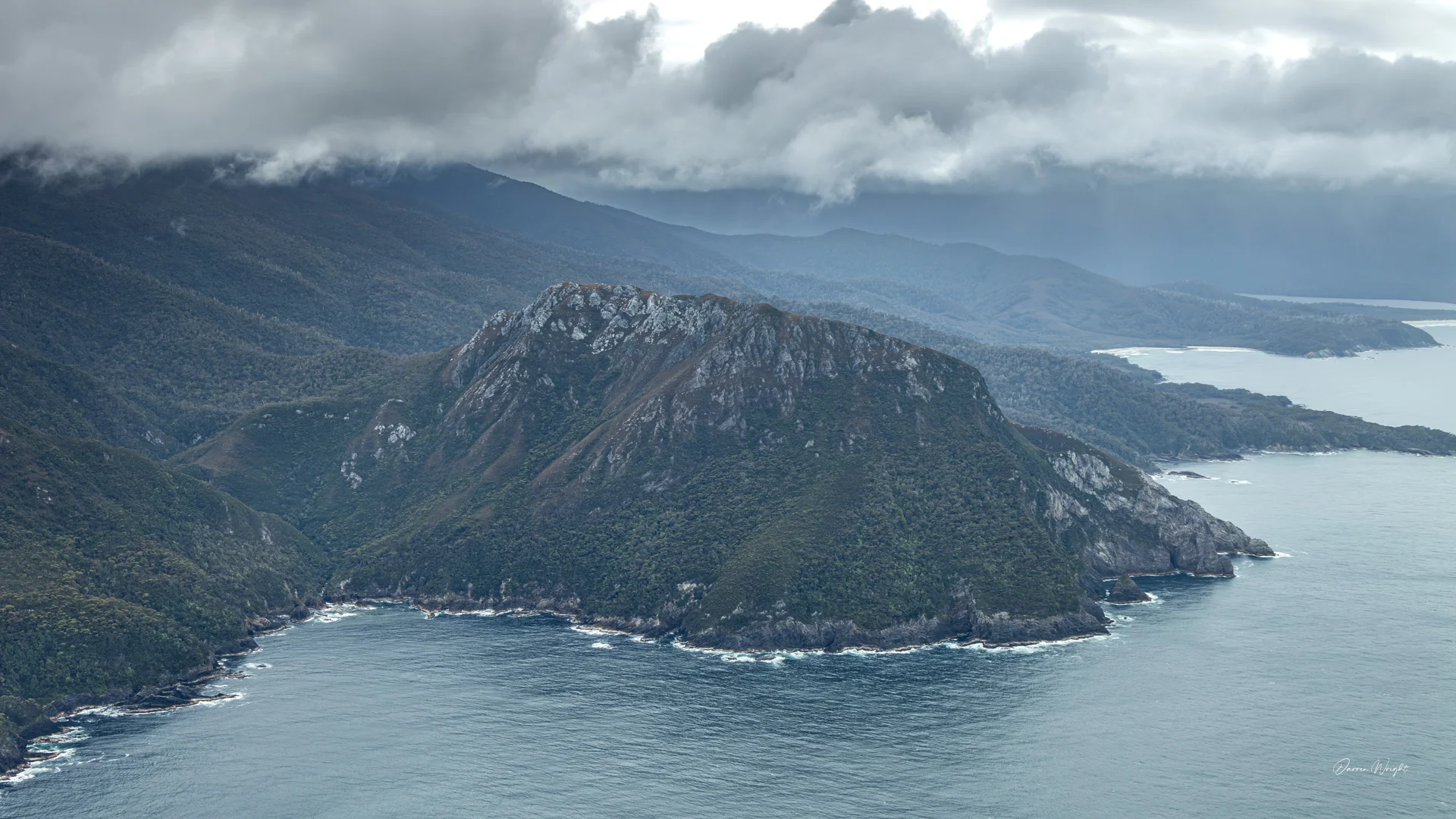
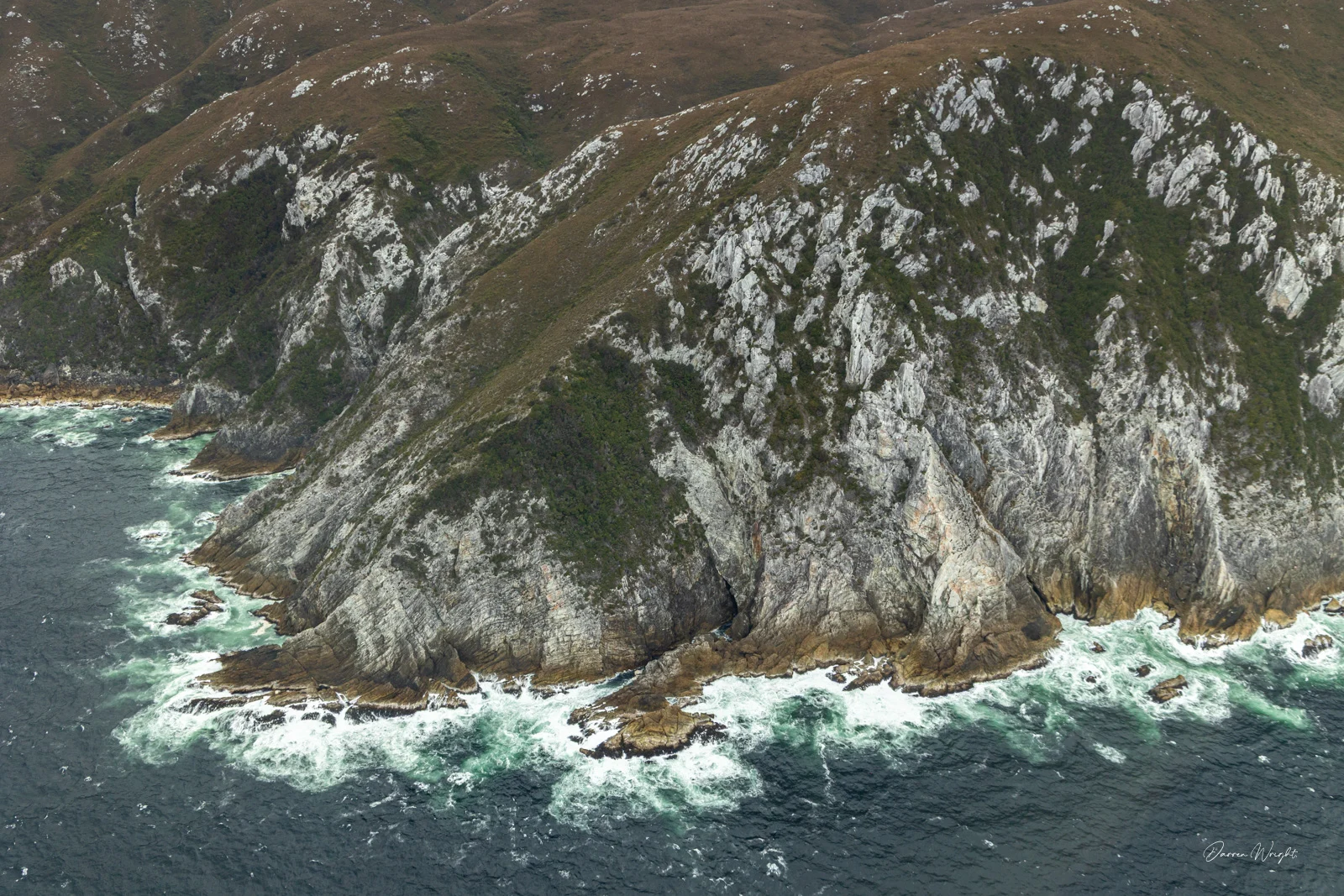
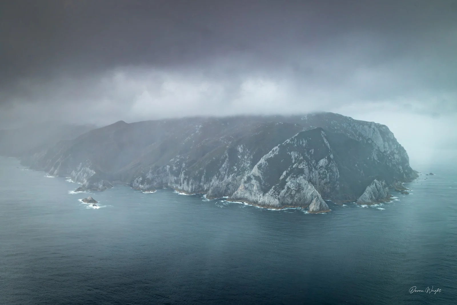
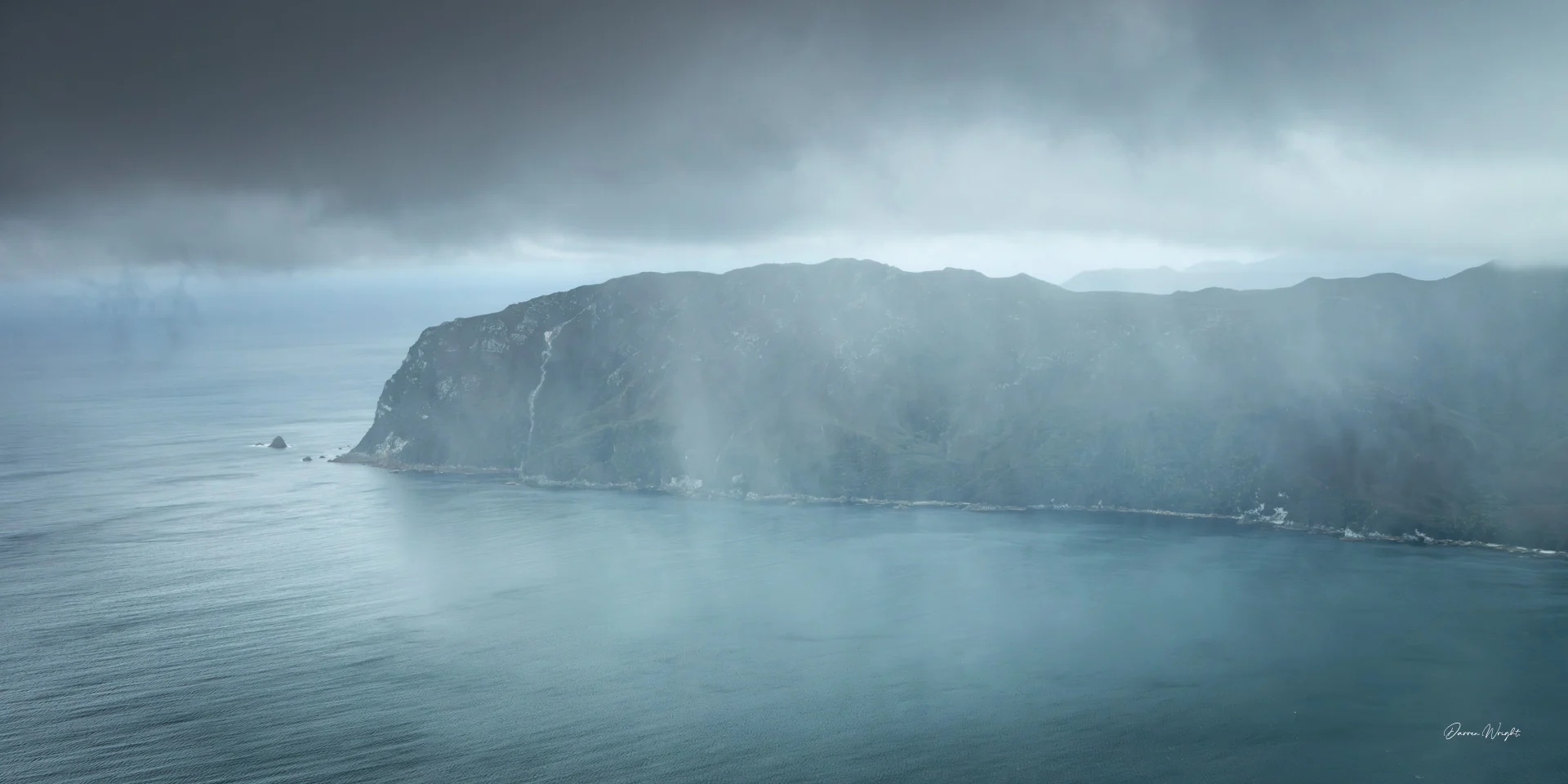
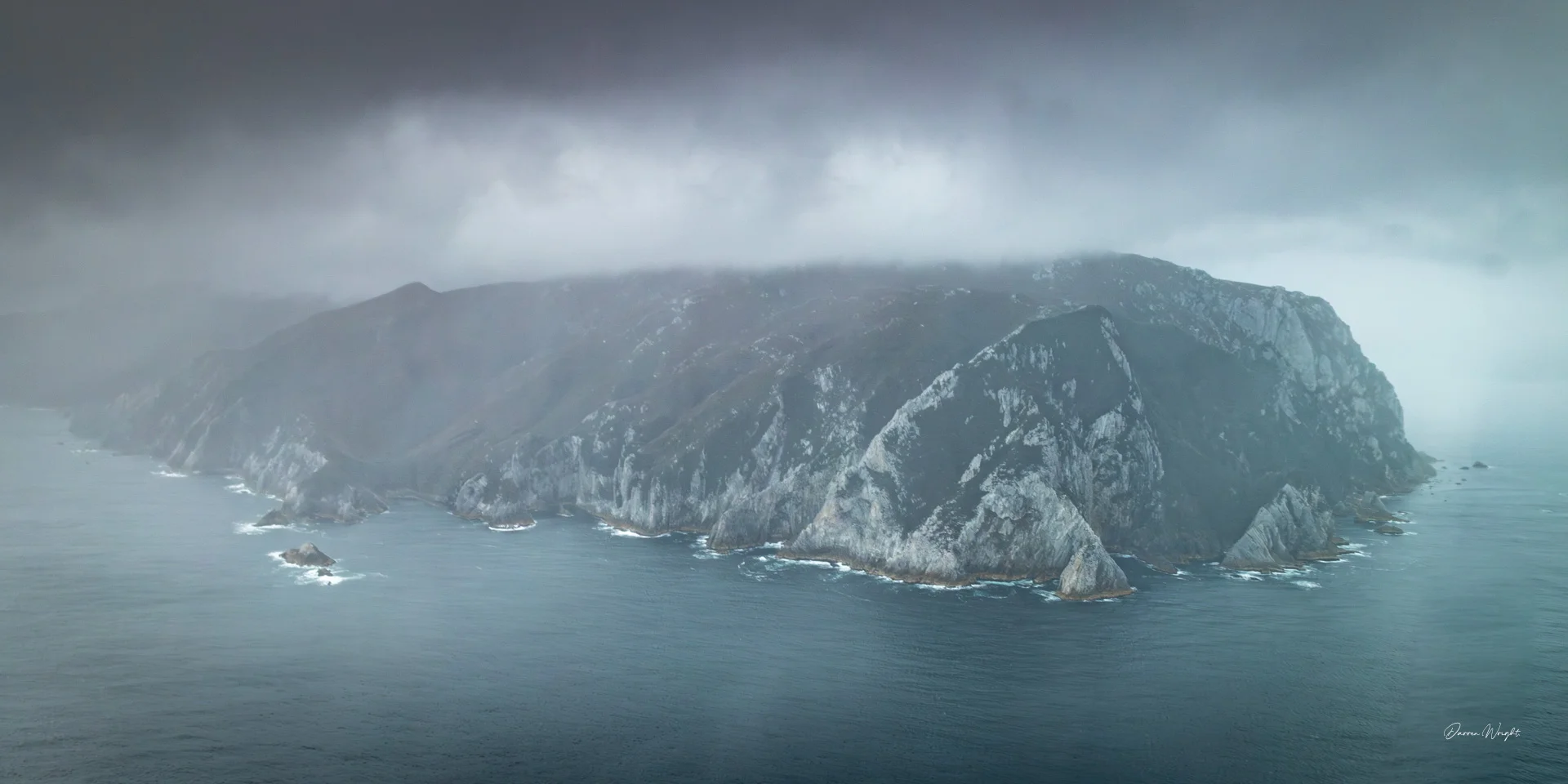
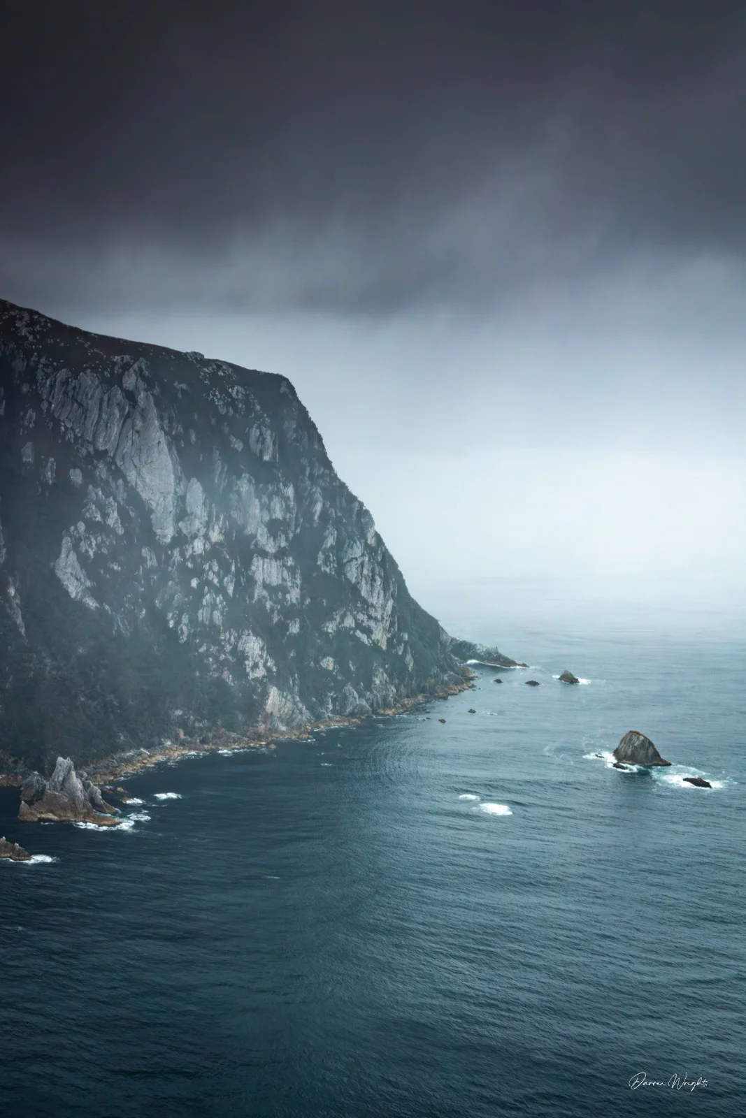
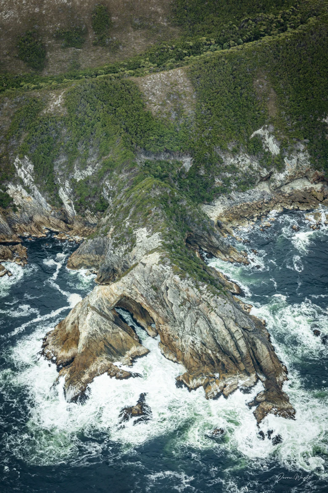
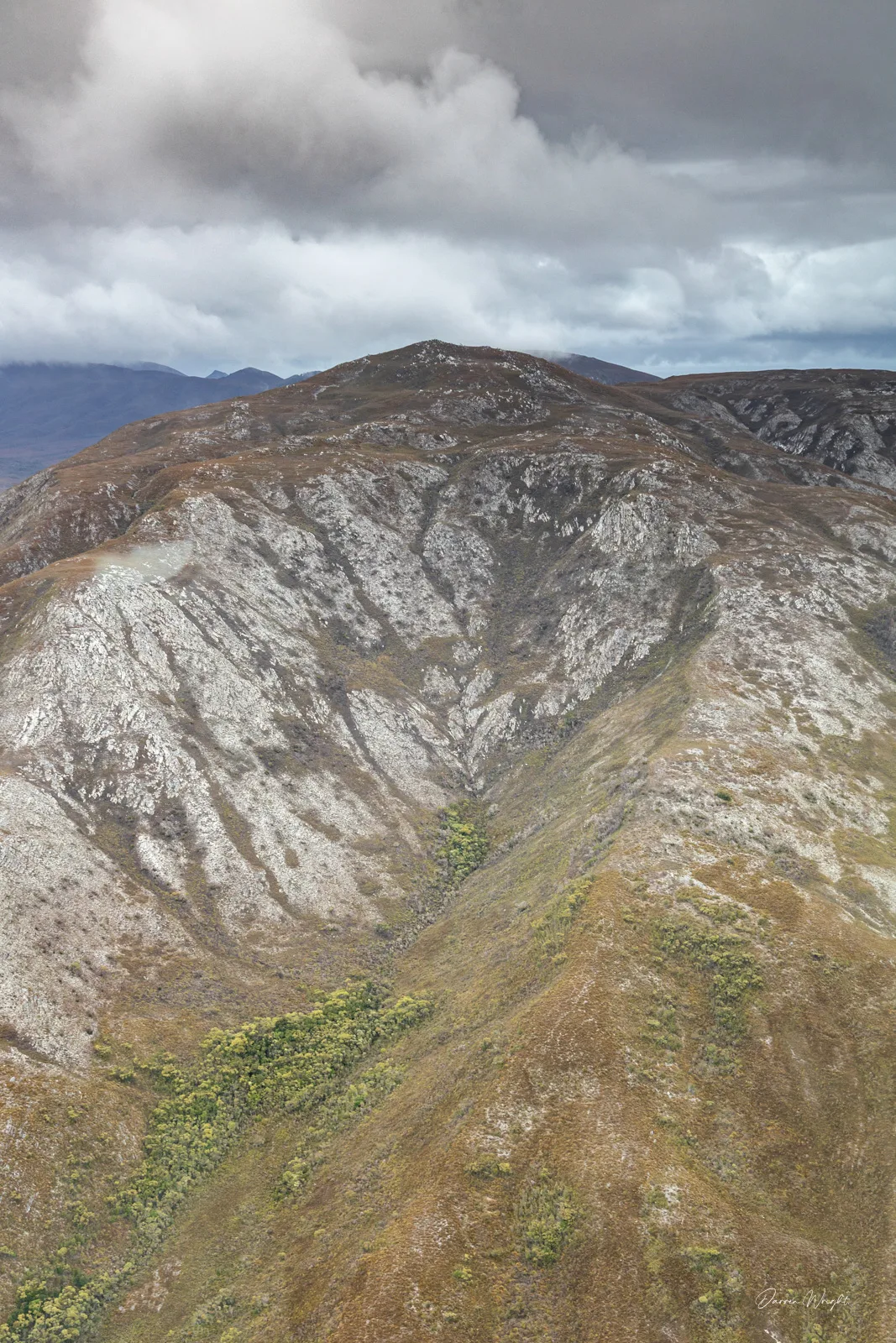
From the air, familiar places quickly fell away. The D’Entrecasteaux Channel stretched out beneath us, Bruny Island to one side, the mainland to the other. Beyond Southport and Cockle Creek, the road quite literally ended and the coastline hardened into something raw and exposed. Rounding Tasmania’s southernmost point, the Southern Ocean was in full voice, dark water, white spray, and a sense of scale that’s hard to grasp unless you see it from above.
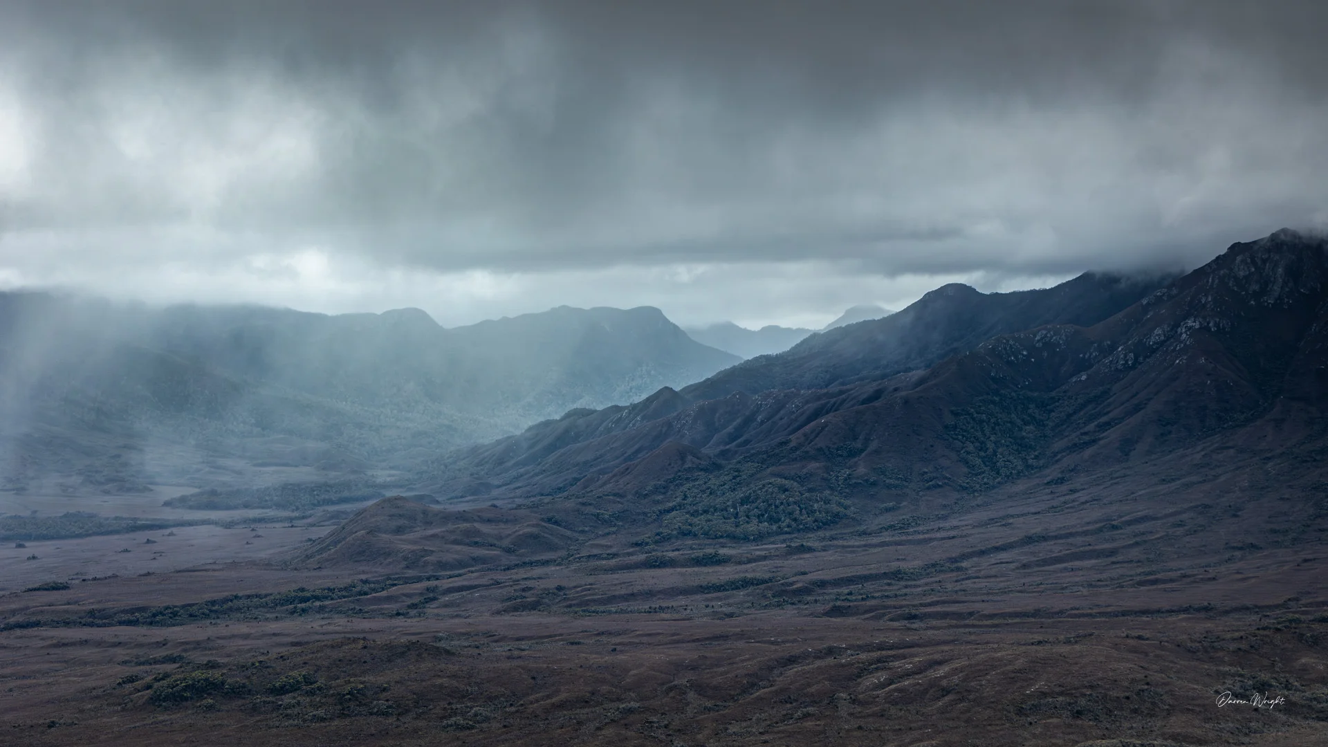
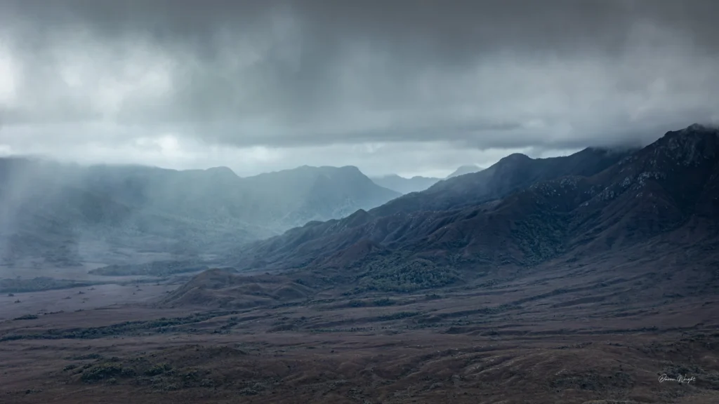
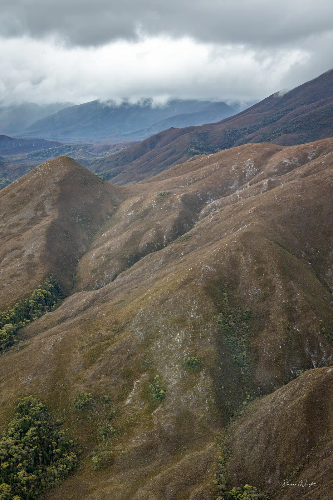
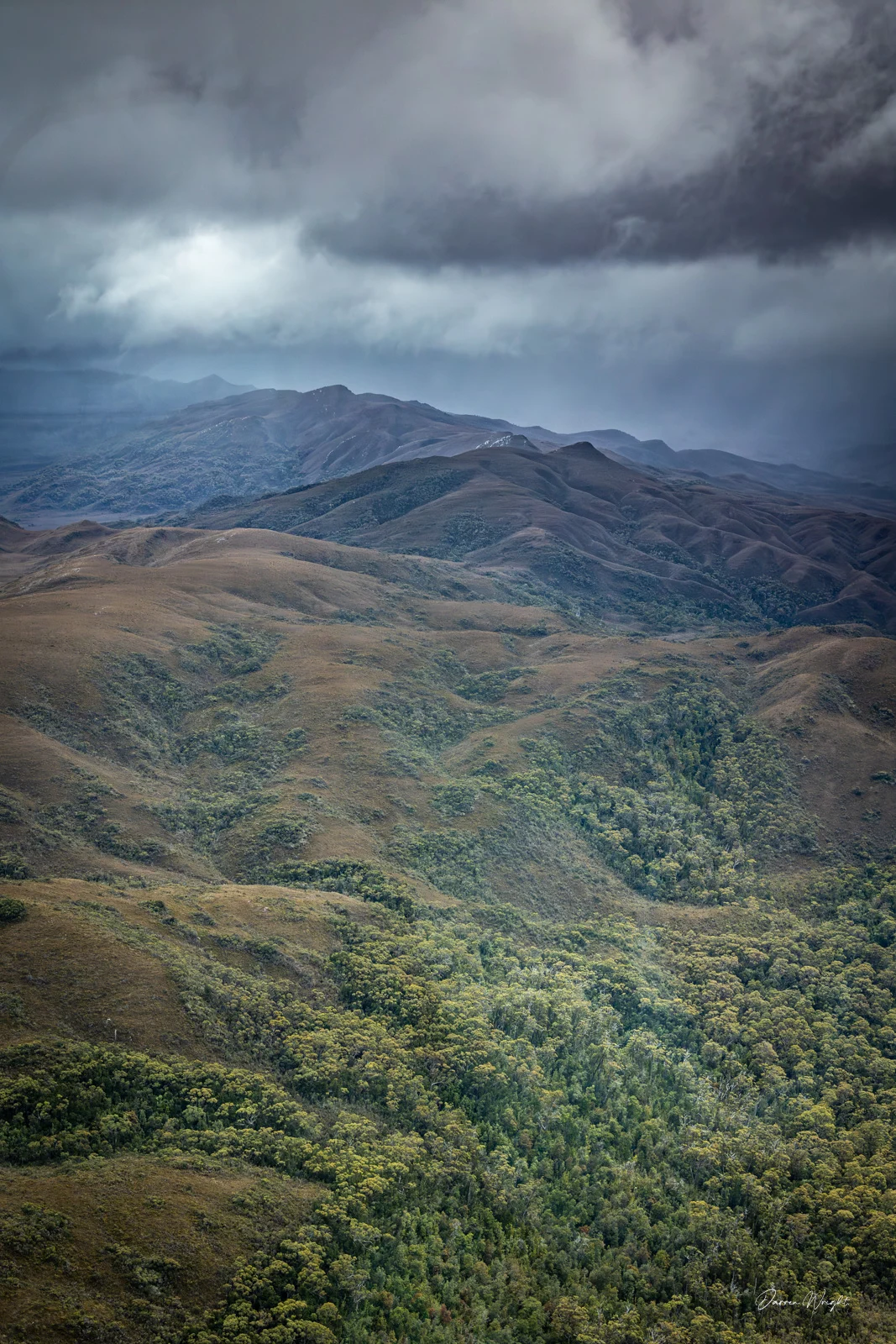
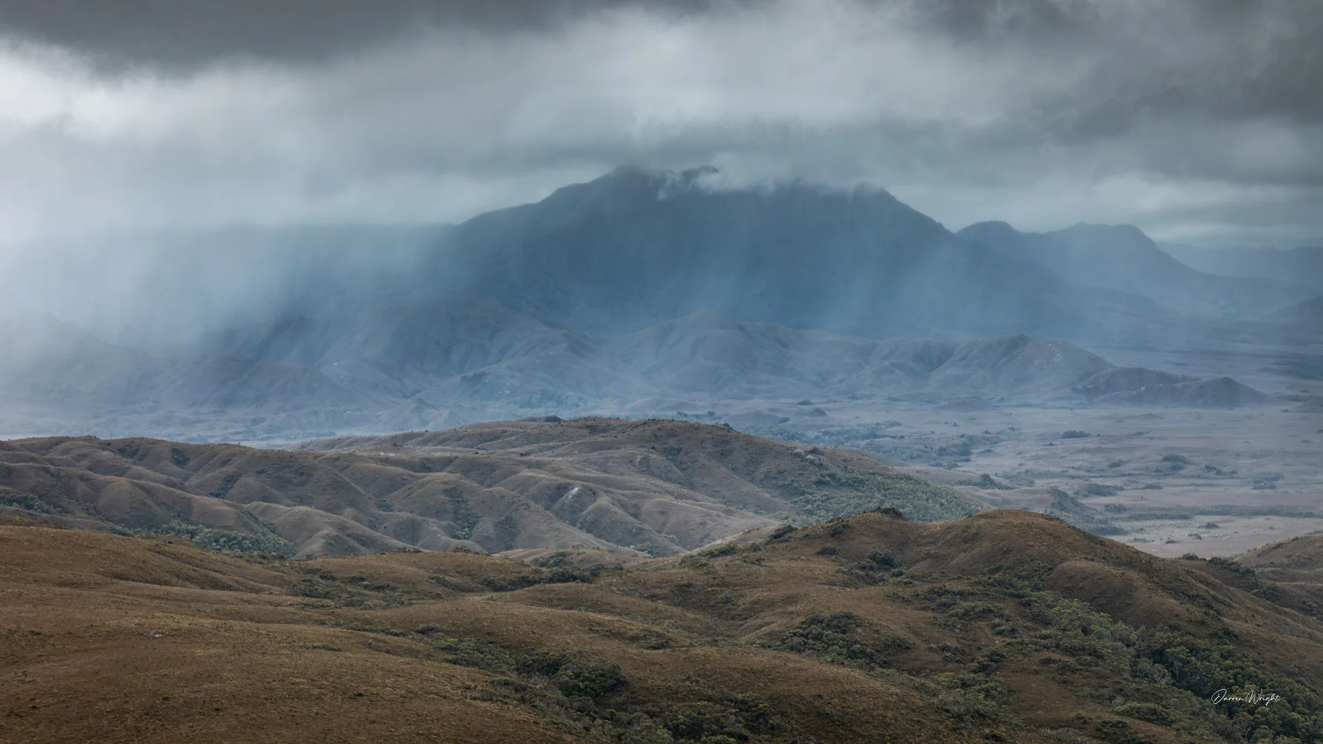
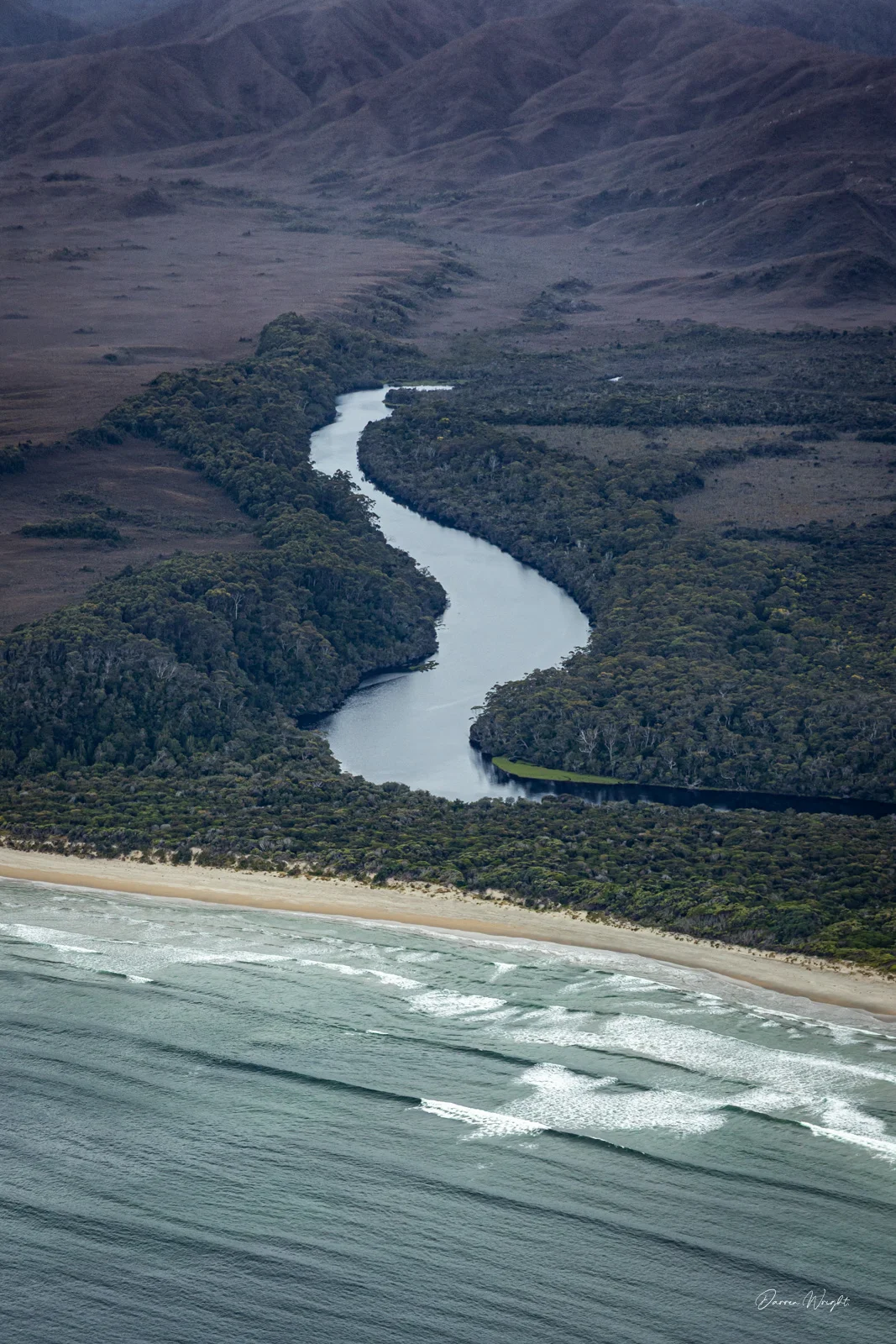
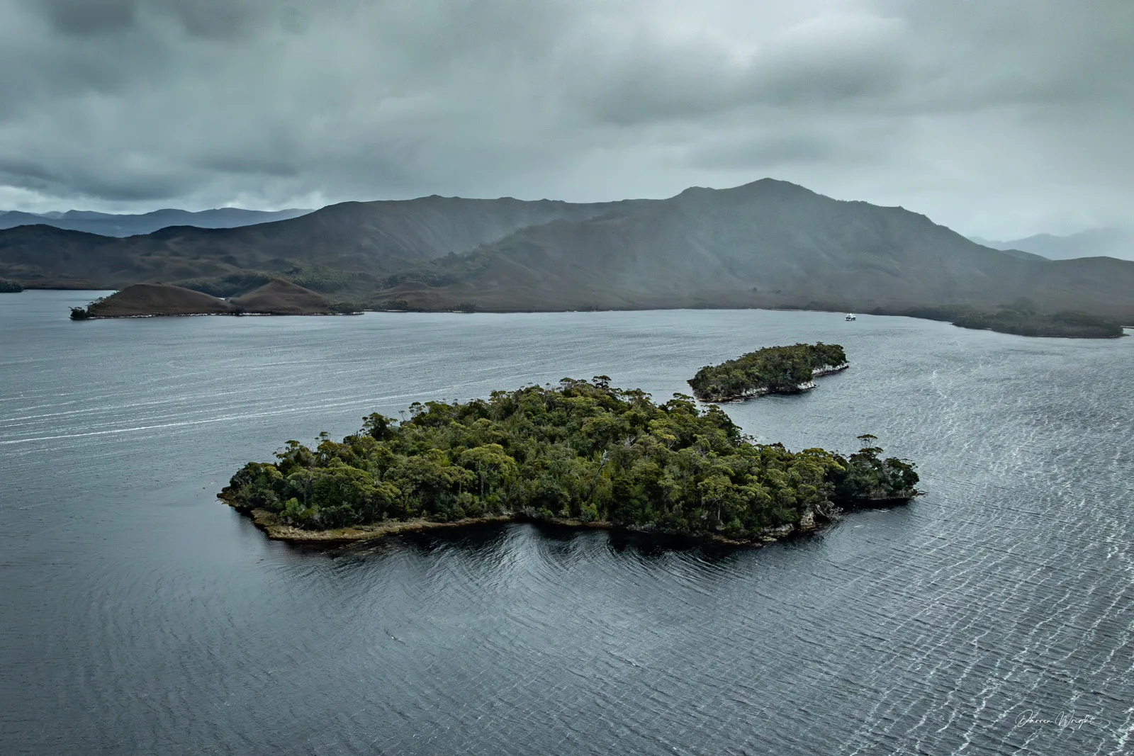
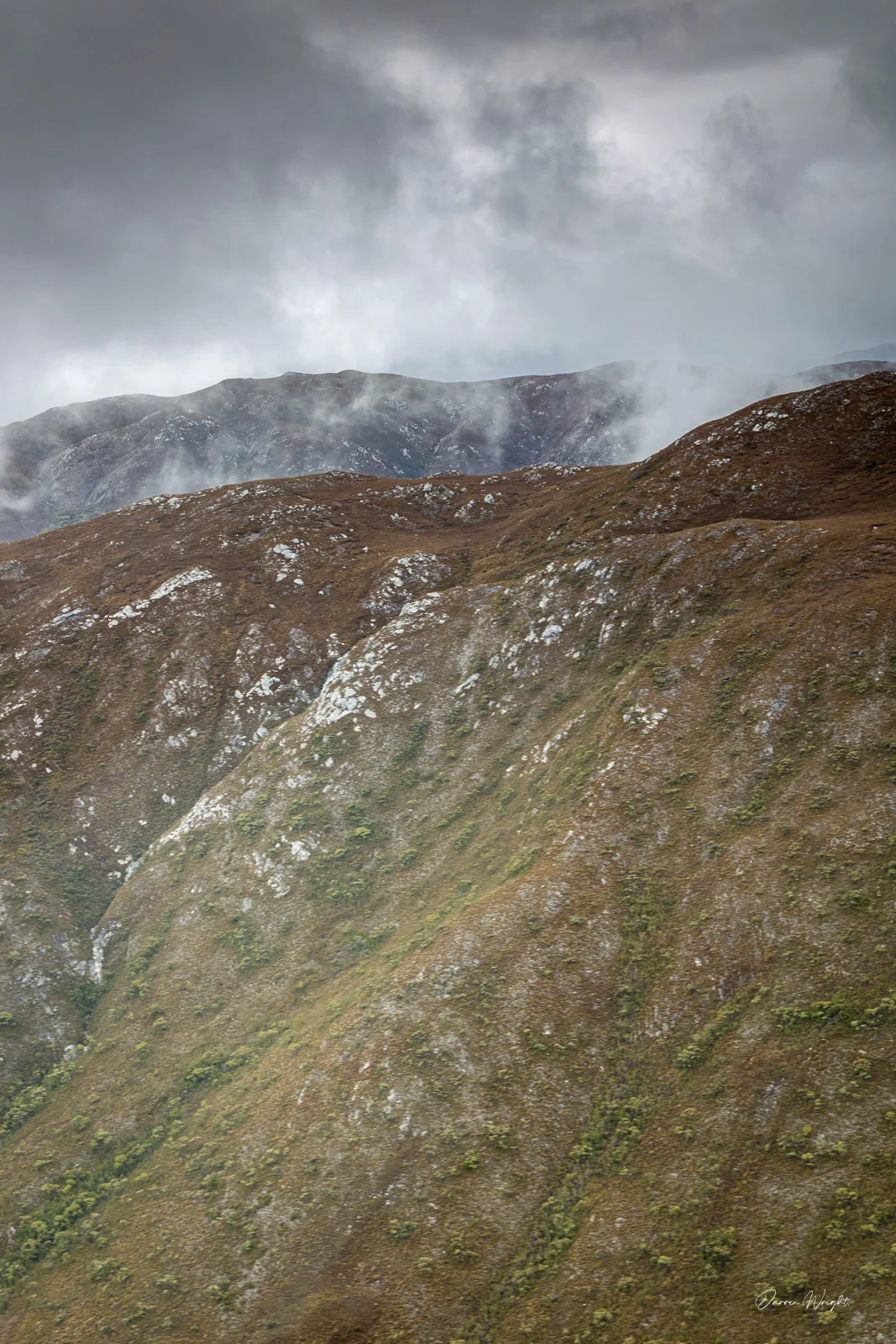
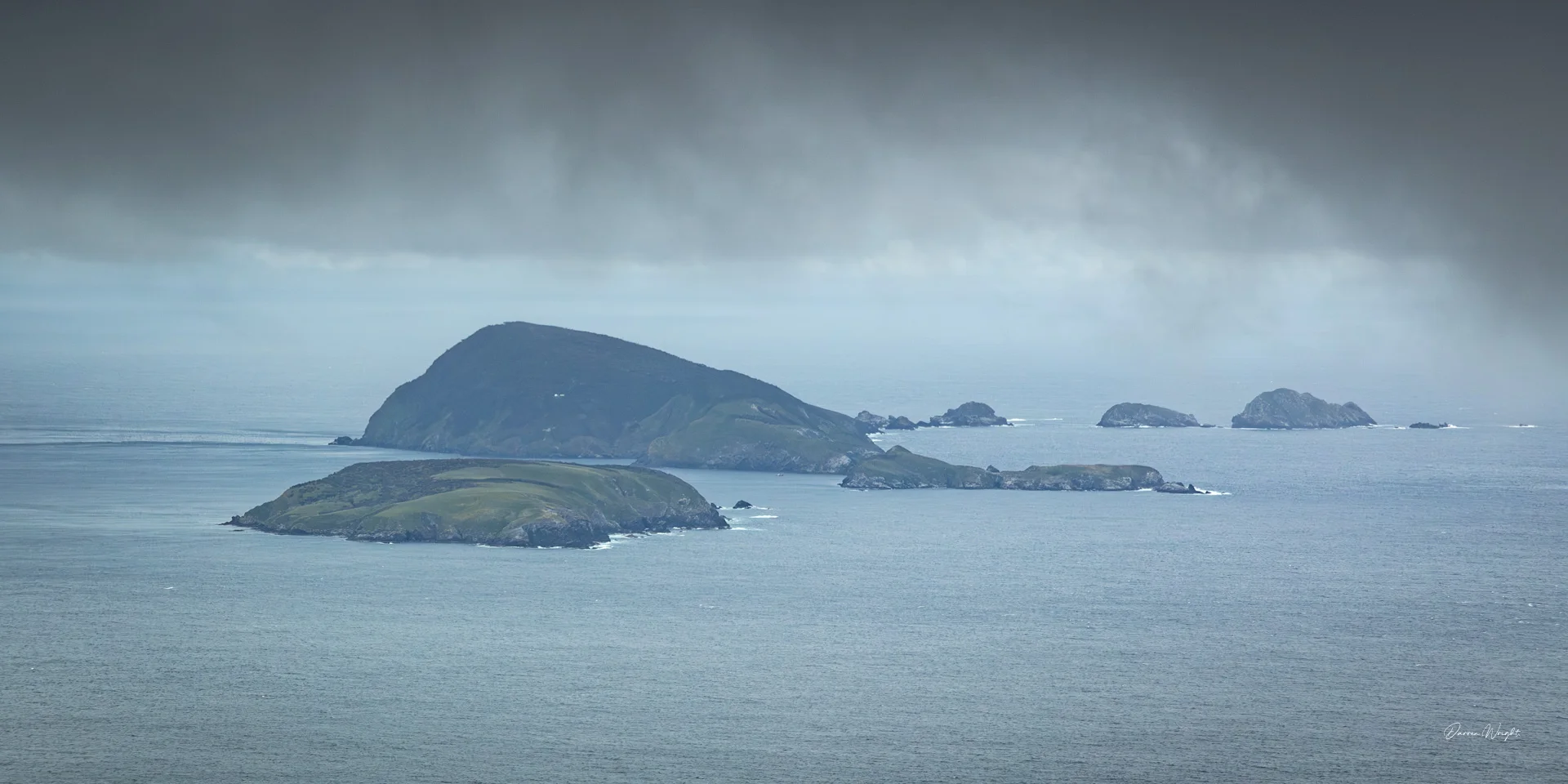
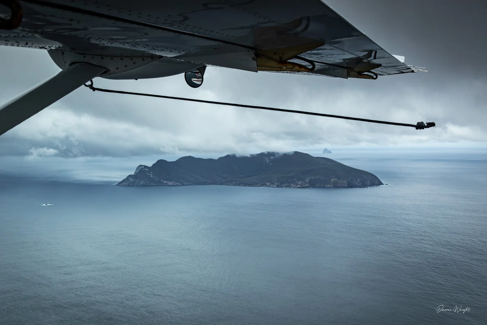
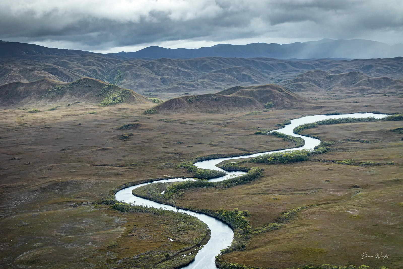
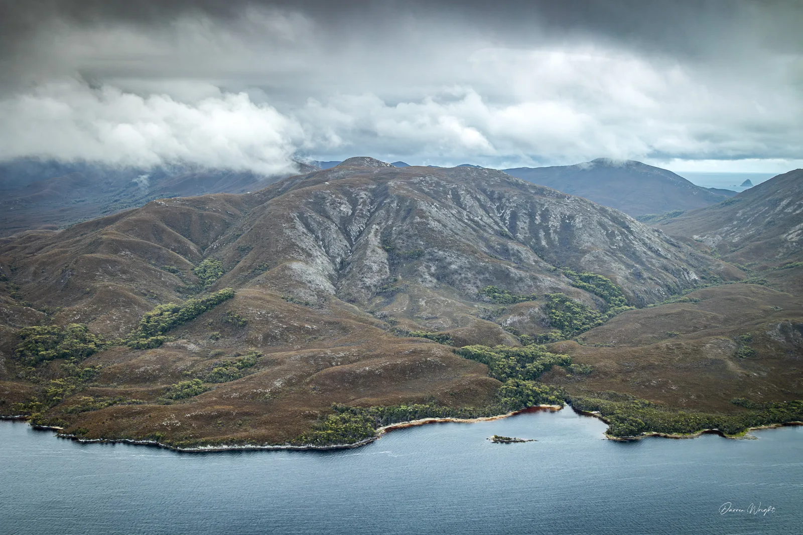
The Maatsuyker Islands and De Witt Island appeared briefly, isolated and weather-beaten, before the coast swung east and the landscape opened up into Bathurst Harbour. From above, it felt vast and untouched, steep hills, dark tannin-stained water, and a stillness that made the Odalisque III expedition vessel look impossibly small. We spent a short time on the water before conditions dictated the return north, watching the weather shift and close in again.
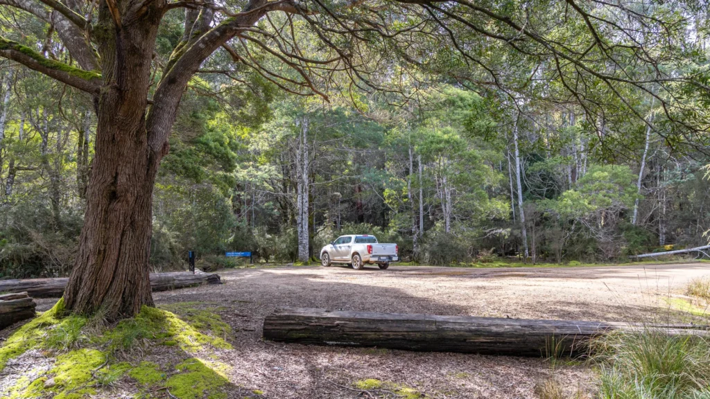
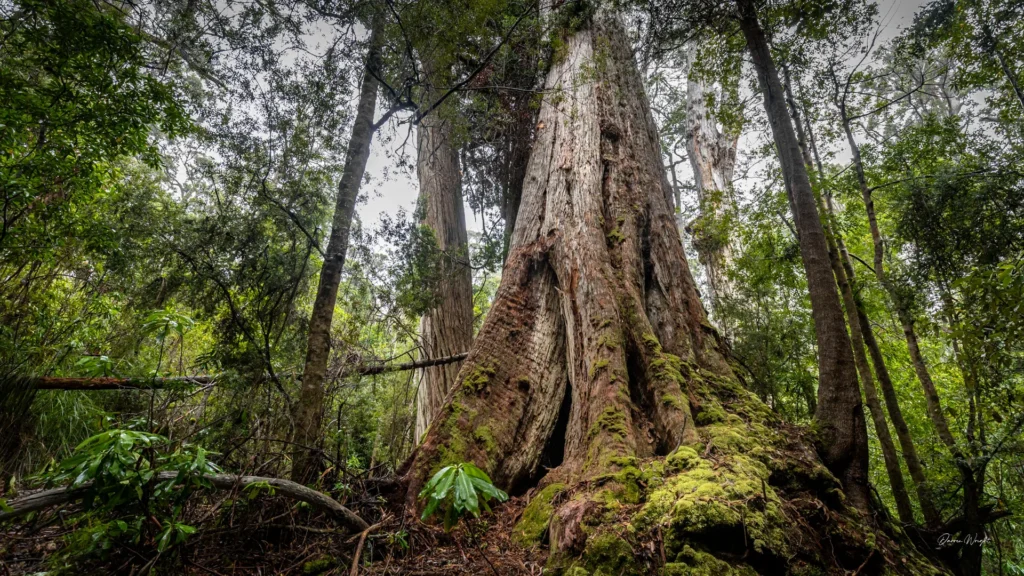
Not every frame from the day was a keeper. Turbulence, rain, and cloud claimed plenty of images, and that’s part of working in places like this. Still, I hope these photographs give you a feel for Tasmania’s southwest, its scale, its remoteness, and its quiet power. It’s a part of Tasmania that resists easy access, and maybe that’s exactly why it leaves such a lasting impression.

